
Loading live conditions...
Loading live conditions...
Siskiyou Summit is open, carry chains or traction tires, road surface: bare pavement, 41 degrees at the summit, updated NOV 4, 2026, 8:28 PM PST.

Last updated at: NOV 4, 2026, 8:28 PM PST · ODOT
 LIVE
 LIVE
 LIVE
 LIVE
 LIVE
 LIVE
 LIVE
 LIVE
 LIVE
 LIVE
 LIVE
 LIVE
Road surface at the pass: bare pavement. Temperature at the summit: 41°F. Weather: overcast.
Road surface at the pass: bare pavement. Temperature at the summit: 41°F. Weather: overcast.
Siskiyou Summit, often shortened by drivers and local media to Siskiyou Pass, carries I-5 over the Siskiyou Mountains at 4,310 feet, about 14 miles south of Ashland. It is a working freight corridor as much as a travel route: when a Pacific storm parks over the summit, this is where the whole west coast highway feels it first, with chain restrictions, conditional closures, and full closures all in the playbook.
The requirement shown on this page is the ODOT posting for the summit segment. Snow zone signs on the road mark where the requirement starts and ends; the posting here and the signs there come from the same ODOT road and weather report.
For the summit forecast, see Siskiyou Summit weather. Heading for Bend instead? This site also tracks Santiam Pass conditions, Willamette Pass conditions, and Government Camp conditions, all live from ODOT.
This is a working freight crossing first and a travel route second. The climb from Ashland gains about 2,300 feet in the last few miles, and the summit segment is where Oregon's conditional closure was practically invented: when a posting steps up, troopers check every vehicle at the control point, and trucks chain in the wide areas at the foot of the grade rather than on it. Towing vehicles and heavy single drive axle trucks chain a full step earlier in the posting ladder than solo cars. Southbound, the descent into California is long; northbound, the run down to Ashland stacks up fast when a hold releases. If the banner at the top of this page says conditional closure, believe it and stage in Ashland or Medford, not on the shoulder.
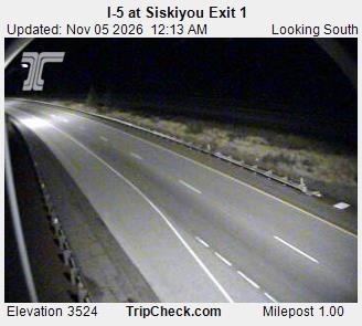
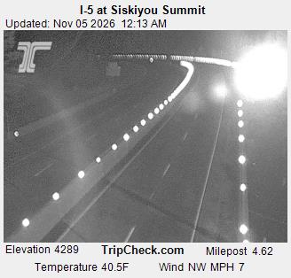
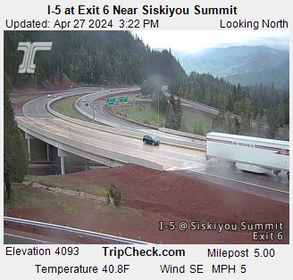
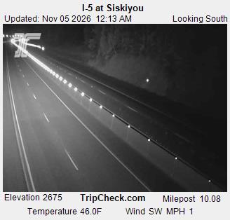
Ashland is the decision town: last full services, last easy turnaround, 14 miles and 2,300 feet below the summit. The cameras on this page run from town up the climb so you can watch the weather change with elevation before you commit. Chain control points sit on the climb itself, and when ODOT holds traffic, the queue forms on this stretch and the holding happens in and around Ashland. Medford, another 12 miles north, is the overflow staging option with more rooms and more food. What you never do is start the climb hoping the posting drops; postings on this summit drop when the storm does, not on a schedule.
Siskiyou Summit is the highest point on I-5 anywhere, and it sits square in the storm track off the Pacific with a short, steep climb on the Oregon side. Snow falls here at rates the plows cannot match in the worst hours, on a grade where a single jackknifed truck blocks the interstate for the whole west coast. That is why this summit sees conditional closures more often than almost anywhere else on I-5, and why ODOT posts early here: an early posting is the price of keeping the road open at all. Drivers who watch the status history on this site learn the pattern: the first cold storm of the season almost always produces one.
Every posting change on this pass is logged in public: see the Siskiyou Summit status history.
Incoming storms, road conditions, and ski area news, straight to your inbox.