
Loading live conditions...
Loading live conditions...
 LIVE
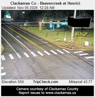 LIVE
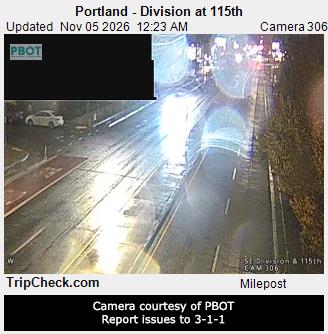 LIVE
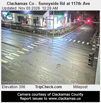 LIVE
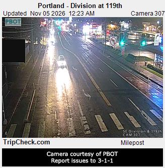 LIVE
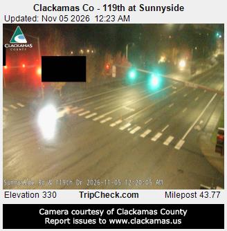 LIVE
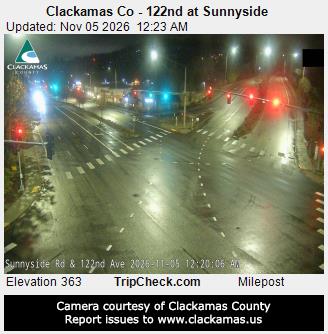 LIVE
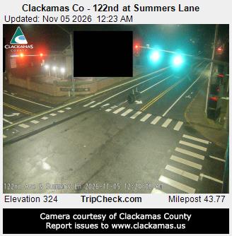 LIVE
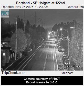 LIVE
 LIVE
 LIVE
 LIVE
 LIVE
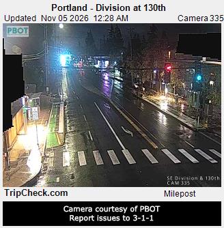 LIVE
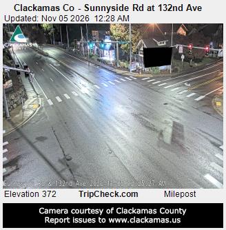 LIVE
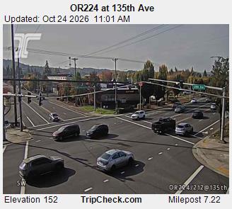 LIVE
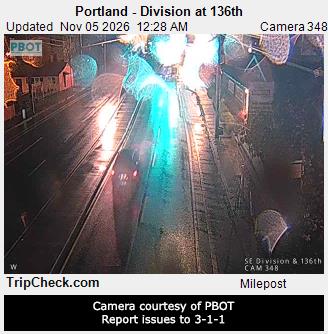 LIVE
 LIVE
 LIVE
 LIVE
 LIVE
 LIVE
 LIVE
 LIVE
 LIVE
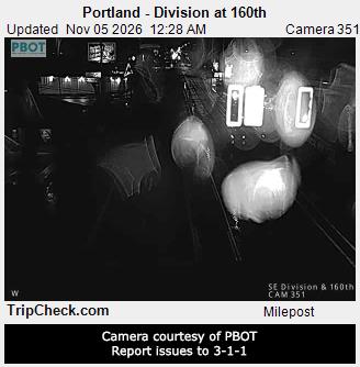 LIVE
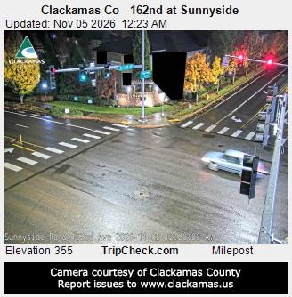 LIVE
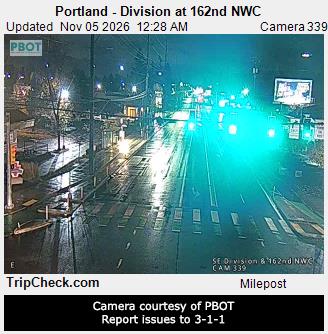 LIVE
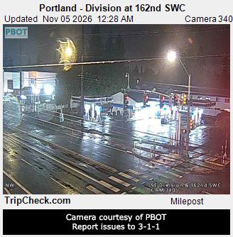 LIVE
 LIVE
 LIVE
 LIVE
 LIVE
 LIVE
 LIVE
 LIVE
 LIVE
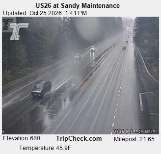 LIVE
 LIVE
 LIVE
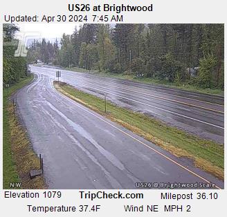 LIVE
 LIVE
 LIVE
 LIVE
 LIVE
 LIVE
 LIVE
 LIVE
 LIVE
 LIVE
 LIVE
 LIVE
 LIVE
 LIVE
One highway, one mountain. US 26 climbs out of Portland through Sandy and Rhododendron to Government Camp, and everything about this drive bends around the snow zone between Rhododendron and Blue Box Pass. The live status above is the trip in one line.
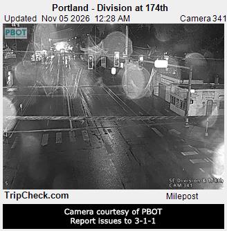
The highway leaves the metro area and climbs into the foothills through Gresham to Sandy. Weather here is usually just rain, but this is your last easy turnaround if the Government Camp report turns bad. Fuel up, and check the status banner above before you commit to the climb.
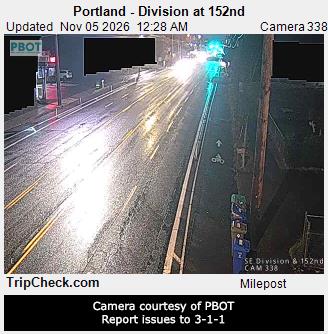
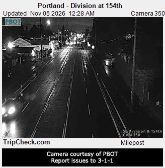
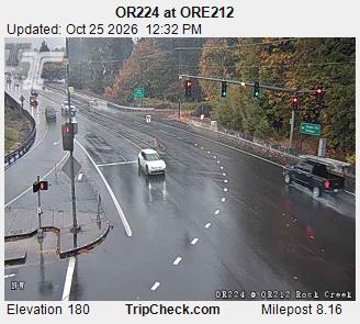
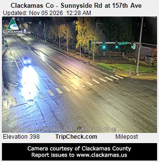
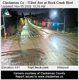
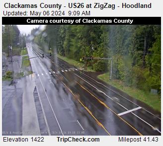
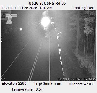
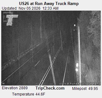
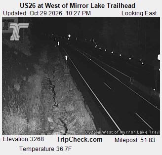
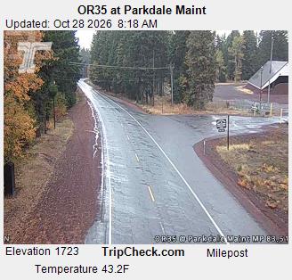
The road narrows into the Sandy River canyon and the snow zone begins. This is where rain turns to snow on storm days, and where the first chain signs appear. The corridor cameras on this page start along exactly this stretch.
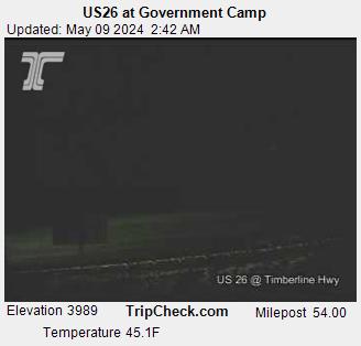
A steady climb through the village strip to Government Camp at 3,900 feet, with Timberline and Mt Hood Meadows traffic joining from the access roads. On powder mornings this segment, not the pass itself, sets the pace of the whole drive.
East of the village the highway crosses Blue Box Pass at 4,022 feet, the high point of the drive, then drops toward Warm Springs and the US 97 junction. Bend bound drivers stay on US 26 to Madras; the mountain weather is all behind you once you are past Blue Box.
Incoming storms, road conditions, and ski area news, straight to your inbox.