
Loading live conditions...
Loading live conditions...
Last updated at: NOV 4, 2026, 8:19 PM PST · ODOT
 LIVE
 LIVE
 LIVE
 LIVE
 LIVE
 LIVE
 LIVE
Salem's line to Bend runs east on OR 22 through the Santiam River canyon, joins US 20 at Santiam Junction, and crosses the crest at Santiam Pass. One pass decides the whole drive, and its live status is at the top of this page.
OR 22 climbs the North Santiam canyon through Stayton and Mill City to Detroit. The canyon runs wet and dark in winter, and slides or a single spinout can close it with no detour, so check the corridor cameras before you leave the valley floor.
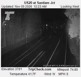
Past Detroit Lake the road climbs to Santiam Junction, where OR 22 ends at US 20. Elevation here is already about 3,800 feet; if it is snowing at the junction, the summit will be worse.
US 20 crosses the crest at 4,817 feet beside the Santiam Pass ski area. This is the segment ODOT's report at the top of this page describes, and where chain restrictions land first.
Down the east slope through Sisters and onto the high desert floor to Bend, about 150 miles from Salem in total. Once you are through Sisters, Cascade weather is behind you; black ice on the cold desert nights becomes the thing to watch.
Incoming storms, road conditions, and ski area news, straight to your inbox.