
Loading live conditions...
Loading live conditions...

Last updated at: NOV 4, 2026, 8:28 PM PST · ODOT
 LIVE
 LIVE
 LIVE
 LIVE
 LIVE
 LIVE
 LIVE
 LIVE
 LIVE
 LIVE
 LIVE
 LIVE
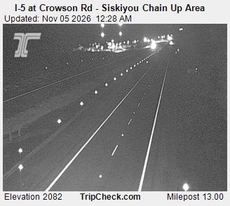 LIVE
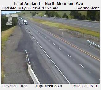 LIVE
 LIVE
 LIVE
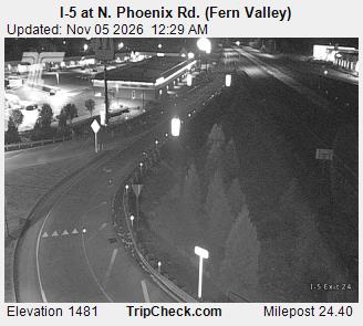 LIVE
 LIVE
 LIVE
 LIVE
 LIVE
Interstate 5 runs the length of Oregon, from Portland down the Willamette Valley, over the Siskiyou Mountains, and into California. For most of that run it is valley freeway. It is the state's north south freight spine and its busiest highway, which is why one page carries the whole corridor: one live status, every camera on the mountain segment, and the weather in each town the road passes through.
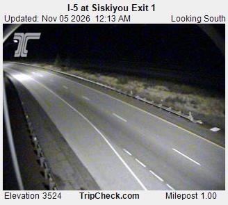
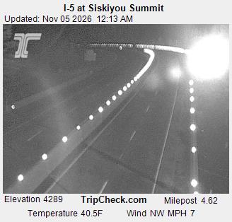
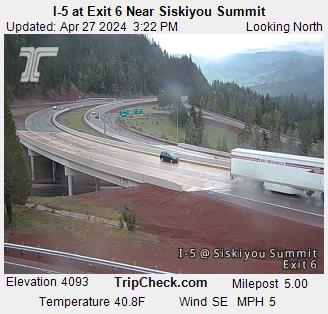
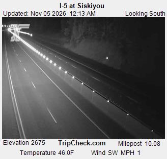
The only stretch that regularly stops this highway is the Siskiyou Summit segment between Ashland and the state line. When ODOT posts a chain restriction or sets a conditional closure, it happens there, and it shows at the top of this page first.
Incoming storms, road conditions, and ski area news, straight to your inbox.