
Loading live conditions...
Loading live conditions...
Government Camp is open, carry chains or traction tires, road surface: bare pavement, 44 degrees at the summit, updated NOV 4, 2026, 8:45 PM PST.
Last updated at: NOV 4, 2026, 8:45 PM PST · ODOT
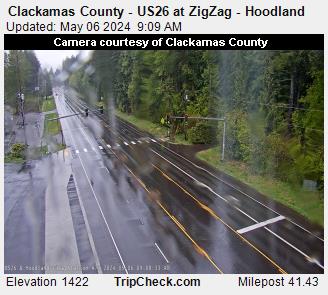 LIVE
 LIVE
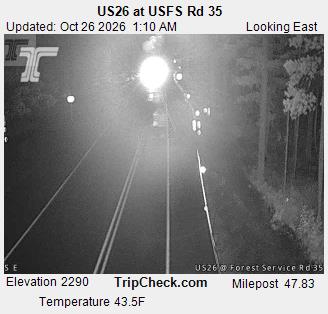 LIVE
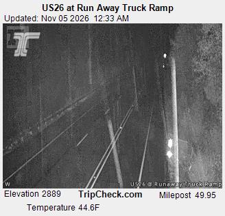 LIVE
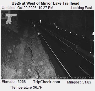 LIVE
 LIVE
 LIVE
 LIVE
 LIVE
 LIVE
 LIVE
 LIVE
Road surface at the pass: bare pavement. Temperature at the summit: 44°F. Weather: overcast.
Road surface at the pass: bare pavement. Temperature at the summit: 44°F. Weather: overcast.
Government Camp is the Mt Hood village at 3,900 feet on US 26, the highway Portland takes to its mountain. The road climbs from Sandy through Rhododendron to the village, then over Blue Box Pass at 4,022 feet before dropping toward Warm Springs and the US 97 junction for Bend.
Ski traffic to Timberline and Mt Hood Meadows stacks onto the same two lanes as Bend bound through traffic, so on storm weekends the weather and the queue arrive together. The live posting on this page is ODOT's report for the segment, and the cameras show the road through the village and over Blue Box before you leave the valley floor.
Planning around the weather? See the Government Camp weather forecast for the summit, hour by hour. Crossing the mountains the other way? Siskiyou Summit conditions on I-5 update from the same ODOT reports.
US 26 through Government Camp carries two kinds of traffic that do not mix well in snow: Bend bound through traffic and trucks, and Portland ski traffic headed to Timberline and Mt Hood Meadows. The grades are gentler than the other passes here, topping out at Blue Box Pass at 4,022 feet, but the road is two lanes with limited passing, and a single spun out vehicle between Rhododendron and Government Camp closes it for everyone. Chain up at the signed areas near Rhododendron and east of Government Camp, and note that the snow zone runs Rhododendron to Blue Box: a posting can be in force here while Portland is dry and Bend is sunny.
On a storm weekend, the binding constraint on this drive is often not the road surface, it is volume. Timberline and Mt Hood Meadows traffic leaves Portland in the same two hour window, and the queue forms at the access road junctions in Government Camp. Leave before 7 AM or after 10 AM on powder days. The corridor cameras on this page start in Sandy for a reason: if the canyon segment is already crawling, the mountain will not be faster. Parking fills at both ski areas on the biggest days, and a full lot at the top is its own kind of closure.
US 26 over Government Camp and down US 97 is the direct Portland to Bend line at about 175 miles. Santiam Pass is the release valve when Mt Hood weather or ski traffic shuts US 26 down, at about 190 miles by I-5 and US 20. The two passes are posted independently and sit in different weather; a slide closure at Government Camp says nothing about Santiam. The Portland to Bend comparison page on this site puts both postings side by side with a verdict for right now, which is the fastest way to make this call on a storm morning.
Every posting change on this pass is logged in public: see the Government Camp status history.
Incoming storms, road conditions, and ski area news, straight to your inbox.