
Loading live conditions...
Loading live conditions...
 LIVE
 LIVE
 LIVE
 LIVE
 LIVE
 LIVE
 LIVE
 LIVE
 LIVE
 LIVE
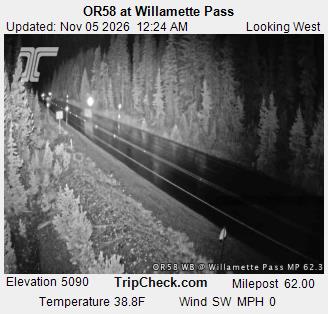
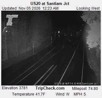
Eugene reaches Bend two ways: OR 58 over Willamette Pass to US 97, or north on I-5 and east over Santiam Pass on US 20. Willamette is the home route and the shorter line, but at 5,128 feet it is also the highest pass on this site. This page tracks both summits in one place.
East through Oakridge and up to the 5,128 foot summit, past the ski area and Odell Lake, down to the US 97 junction near Chemult, then north through Sunriver country to Bend. About 130 miles and one pass the whole way.
North on I-5 to Albany and east on US 20 over 4,817 foot Santiam Pass through Sisters. About 170 miles, a long swing north, but the pass is 300 feet lower and the highway wider if Willamette is getting hammered.
Start with the postings above. Willamette asks one high pass to behave; Santiam asks one slightly lower pass plus an hour of interstate. When OR 58 closes for a slide in the Salt Creek canyon, Santiam is the way around. When both are posted, carry chains and take the route you know best.
Driving from the capital instead? Salem to Bend over Santiam Pass runs OR 22 through Detroit and Idanha to the same summit. Eugene drivers cross on Eugene to Bend, and Mt Hood skiers want Portland to Mt Hood. For the head to head, see the Portland to Bend route comparison.
Incoming storms, road conditions, and ski area news, straight to your inbox.